Plateau

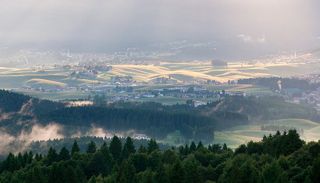
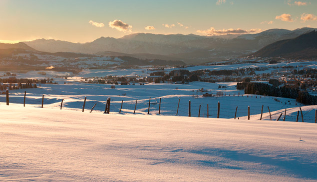
The plateau of the Seven Municipalities (Hoaga Ebene vun Siiben Kameûn or Hòoge Vüüronge dar Siban Komàüne in the Cimbra language, Altopian de Asiago or Altopian dei Sete Comuni in Veneto), also known as the plateau of Asiago by the name of its main center, is a vast plateau (of the type of corrugated acrocoro) located in the Vicenza Alps, in the border area between the Veneto and Trentino-Alto Adige regions.

According to the International Orographic Division of the Alps is a subgroup of the plateaus. Most of the territory was formerly divided into seven districts organized into an autonomous federation (the oldest in the world comparable to a modern federal state) called the Federation of the Seven Municipalities.

The plateau was inhabited by the ethnic minority of cimbri, who once distinguished, among other things, because they spoke a particular idiom of Germanic origin, the Cimbra language. Today, only a few inhabitants of Roana and, in particular, of the Mezzaselva district are used to this talk. However, there are consistent traces of Cimbro in the colloquial language and the toponomastics of the whole area.

Between the Astico and Brenta rivers, the massive extends, relative to the administration of Seven Municipalities, for 473.5 km², but the geographical extension of the mountain range as a whole reaches 878.3 km² as part of its territory falls into other administrative areas (such as the valley of Sella, the plain of Vezzena and part of Marcesina in Trentino and the subalpine hills in the pedemontana vicentina). Its altitude is between 87 m and 2341 m.

The extension of the plateau in the strict sense is equal to 560.1 km² with an average altitude of 1317 m.

It is a massif of almost square shape which covers about 25 km from east to west and over 30 km in north-south direction and is bordered by a large slope system. It occupies a central position in the area of the Venetian Prealps. The plateau, in the strict sense, is formed by a central valley with an average altitude of about 1000 meters, and is delimited northwards by a second summit plateau enclosed by a series of peaks rising above 2300 meters in height (maximum elevation at Top XII), while to the south the basin is enclosed by a series of hills that slope down to the Padana plain.